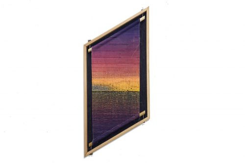
Portfolio > San Francisco Bay
2013-PRESENT
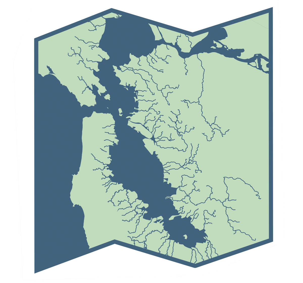
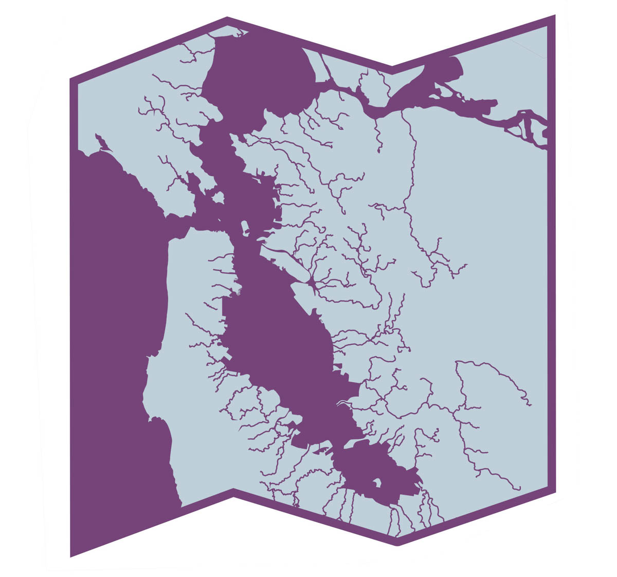
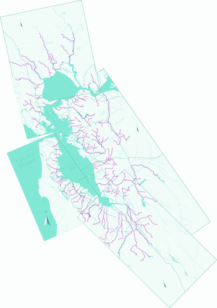
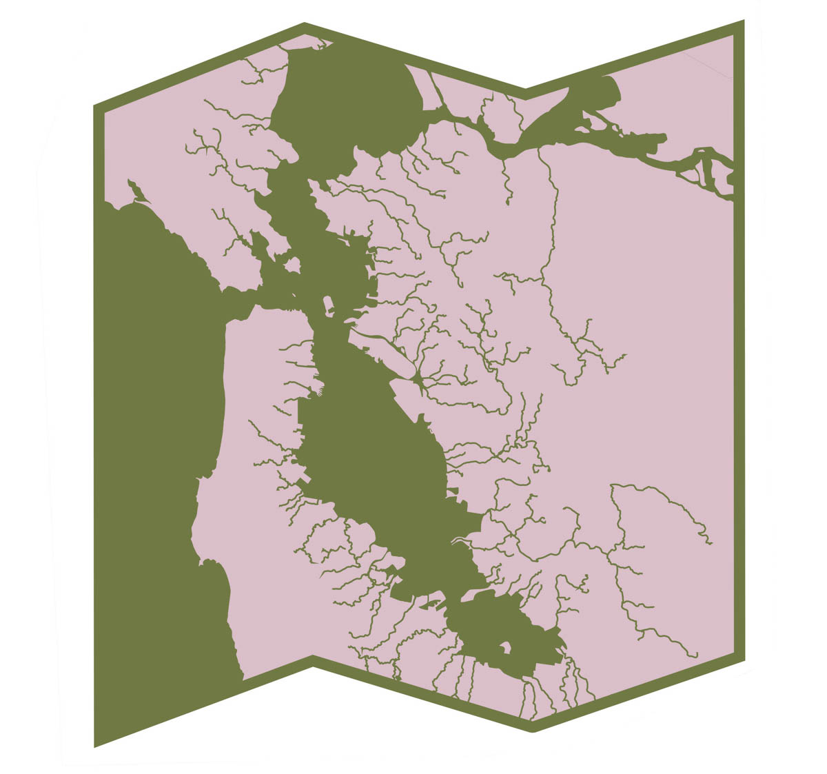
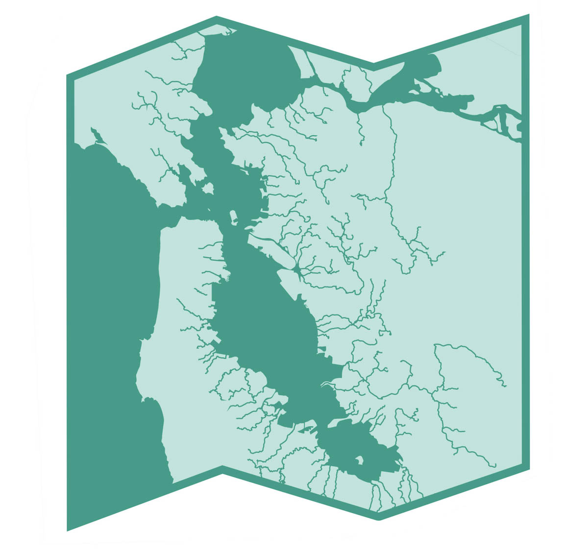
SAN FRANCISCO BAY
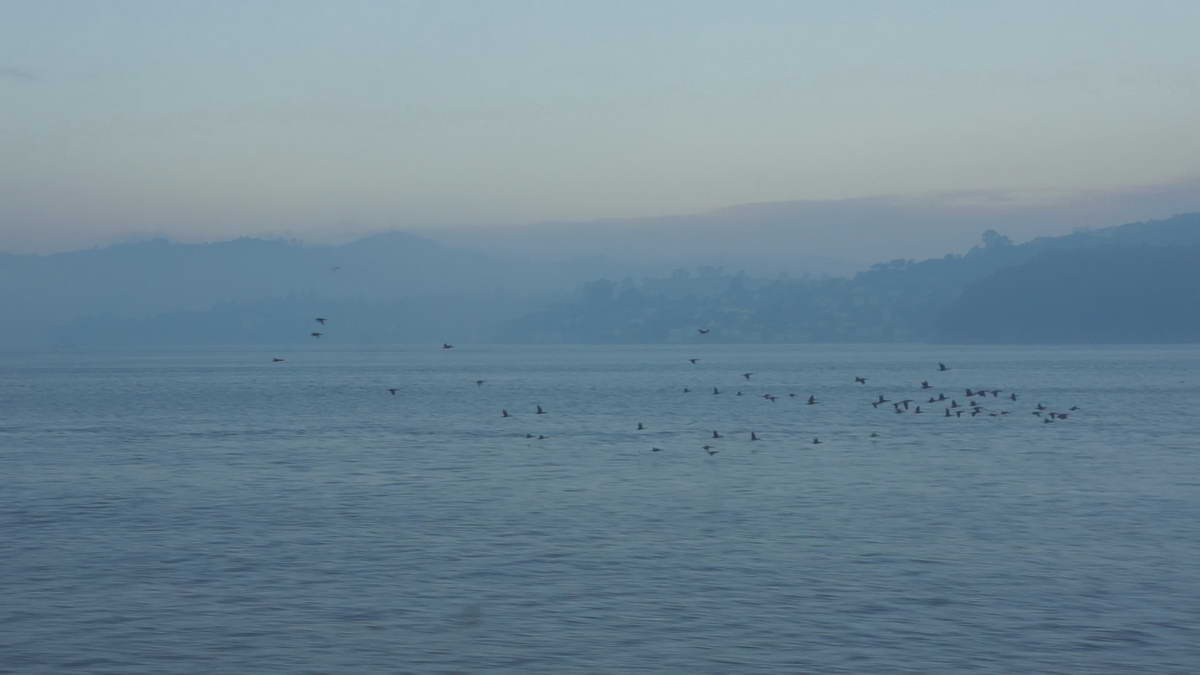
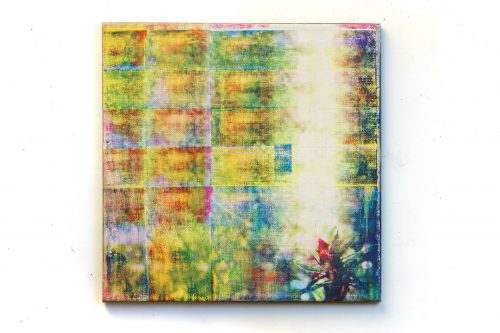
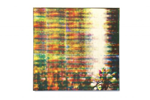
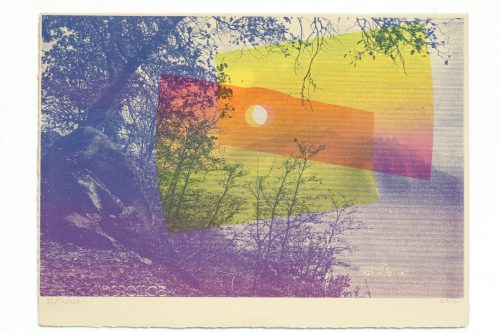
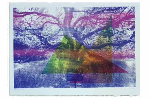
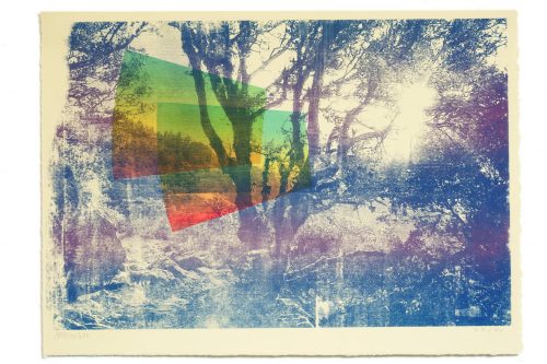
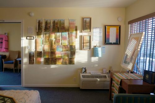
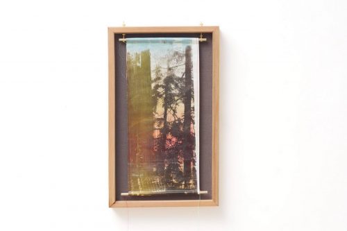
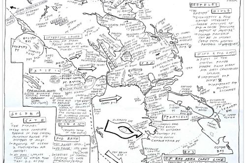
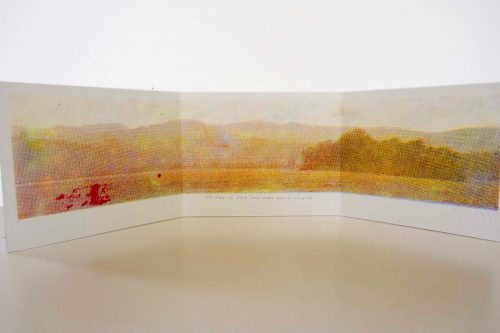
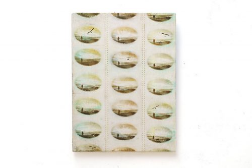
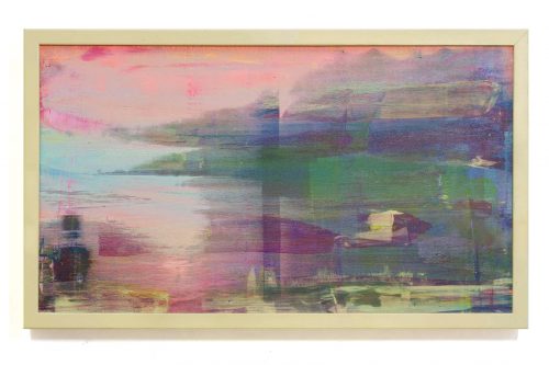
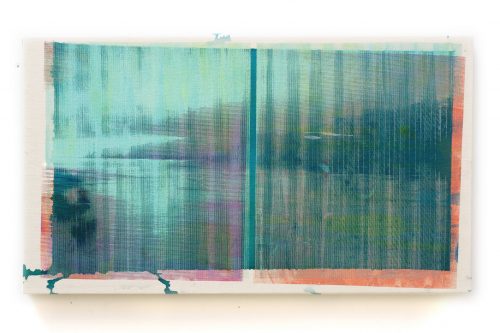
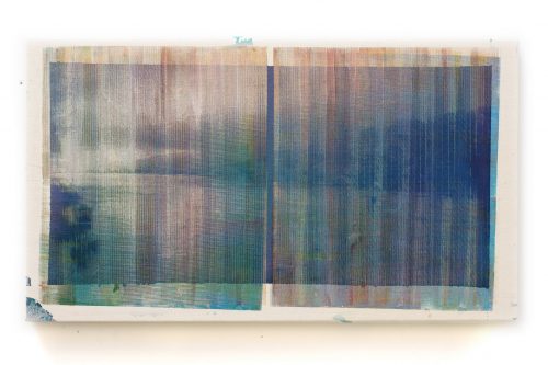
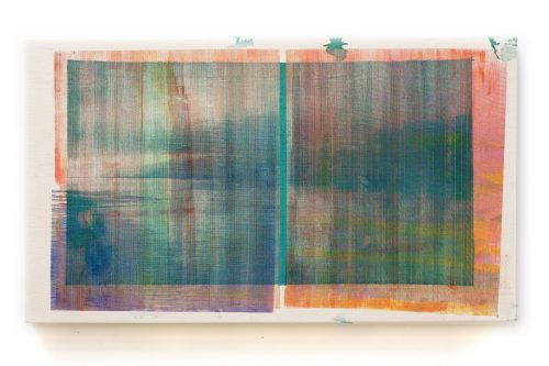
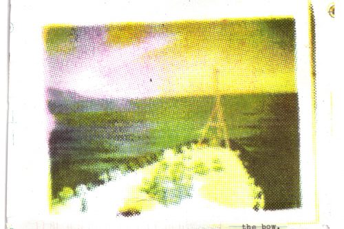
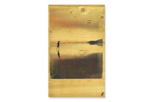
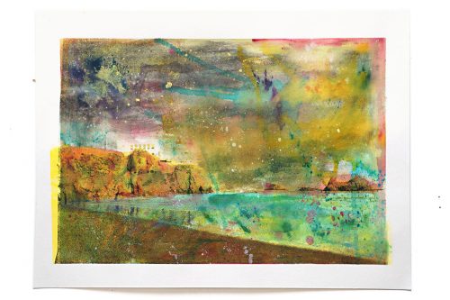
Local species, minor islands, waterways, ecologies. Home, to the extent that I have one. Inspired by the lighting from the ferry.
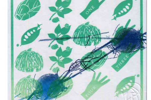
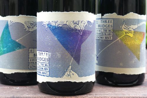
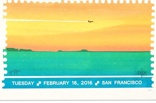
SF Bay: Enamel Pin design

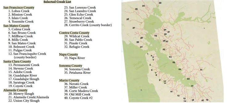
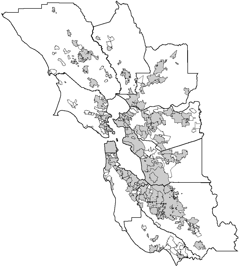
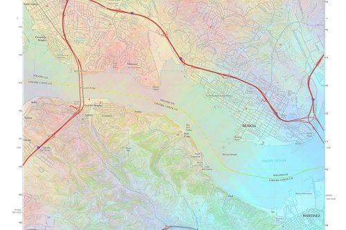
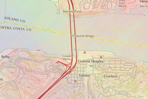
The San Francisco Bay is a metropolitan area of 7.5 million people and three major American cities built around a network of tidal waterways. This estuary system is the end point for 40% of California’s fresh water, which drains into Pacific Ocean via the Sacramento River. This system is built around two sub-bays (San Francisco & San Pablo), where over forty watersheds drain, including:
• Major rivers of Napa and Sonoma counties (Napa & Petaluma rivers, Sonoma Creek).
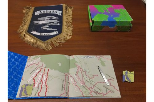
• A patchwork of urban creeks, often paved over and underground.
• A network of mountain creeks (Marin, San Mateo , Santa Clara counties). These creeks and their tributaries drain lush redwood forest that is a part a narrow band of habitat along the Pacific Coast, from central California to southern Oregon.
• Adobe Creek (inspired the Photoshop company)
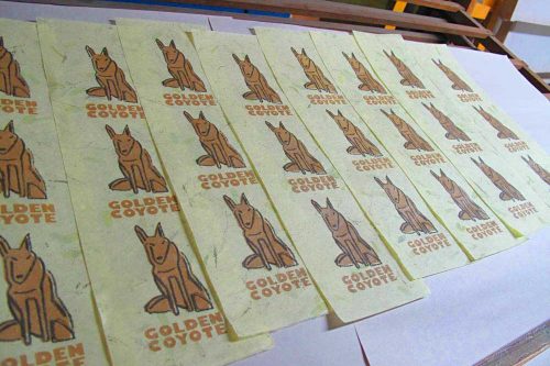
• Coyote Creek (drains the Santa Clara basin)

WORKS PART 1
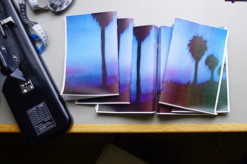
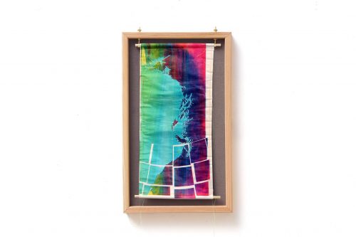
LOCAL SPECIES

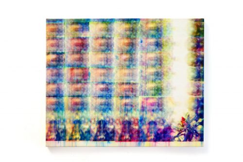
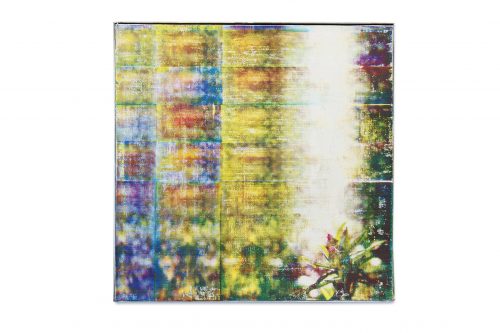


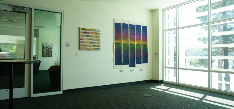
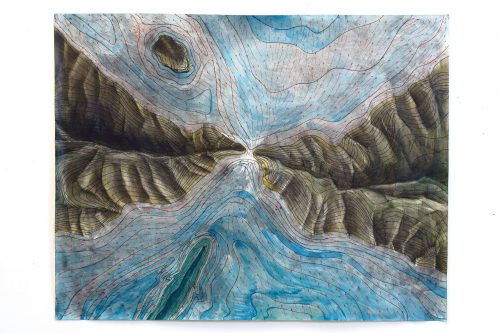
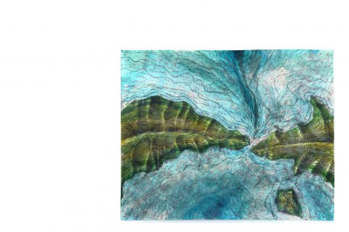
WORKS PART 2
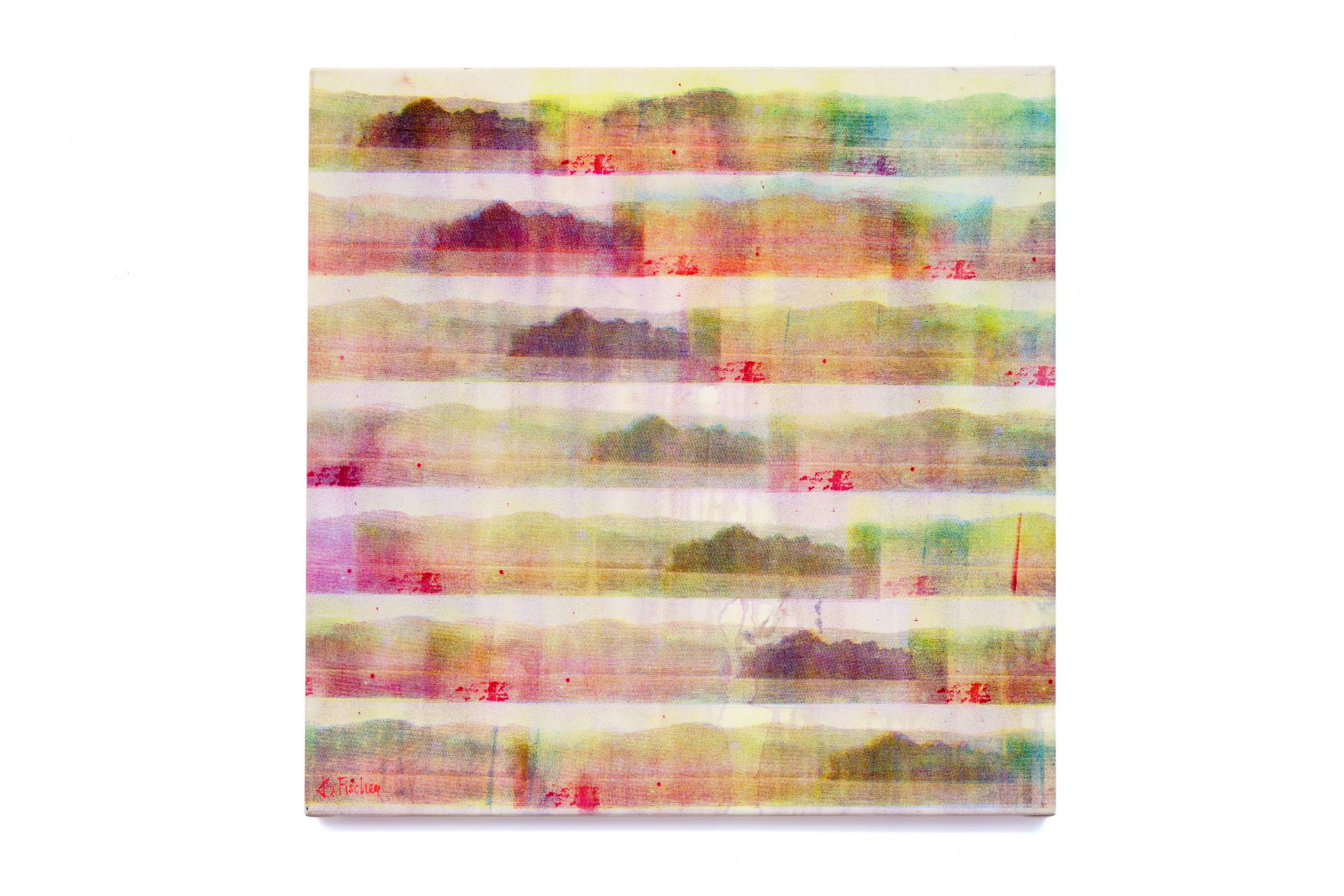
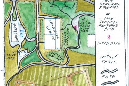
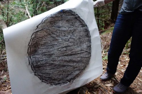
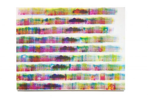
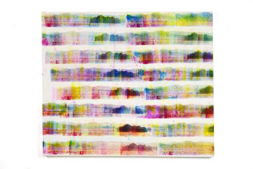
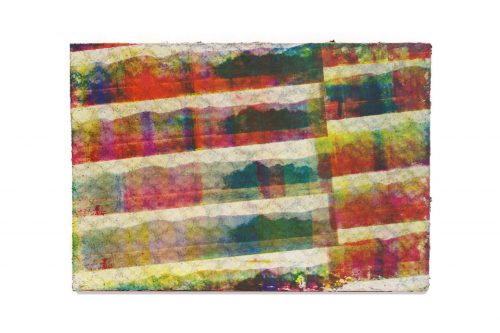
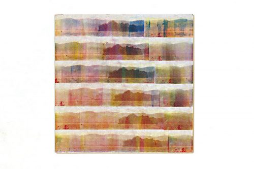
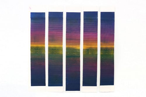
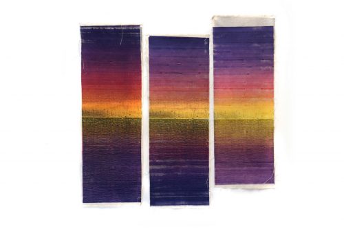
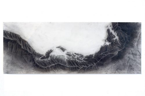
TOPOGRAPHIES


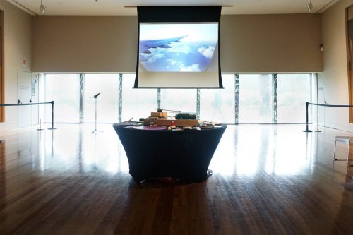


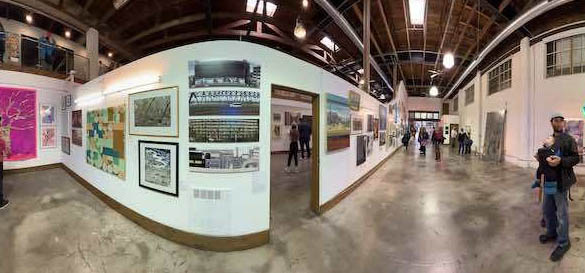
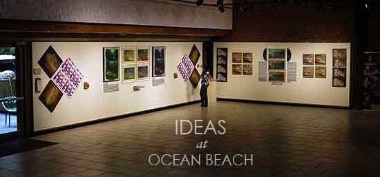
EXHIBITIONS &